
2nd Prize Innovation Project for Moving Minds and Qualification for Morocco
Hellenic Educational Robotics Competition FLL 2022-23 | March 2023
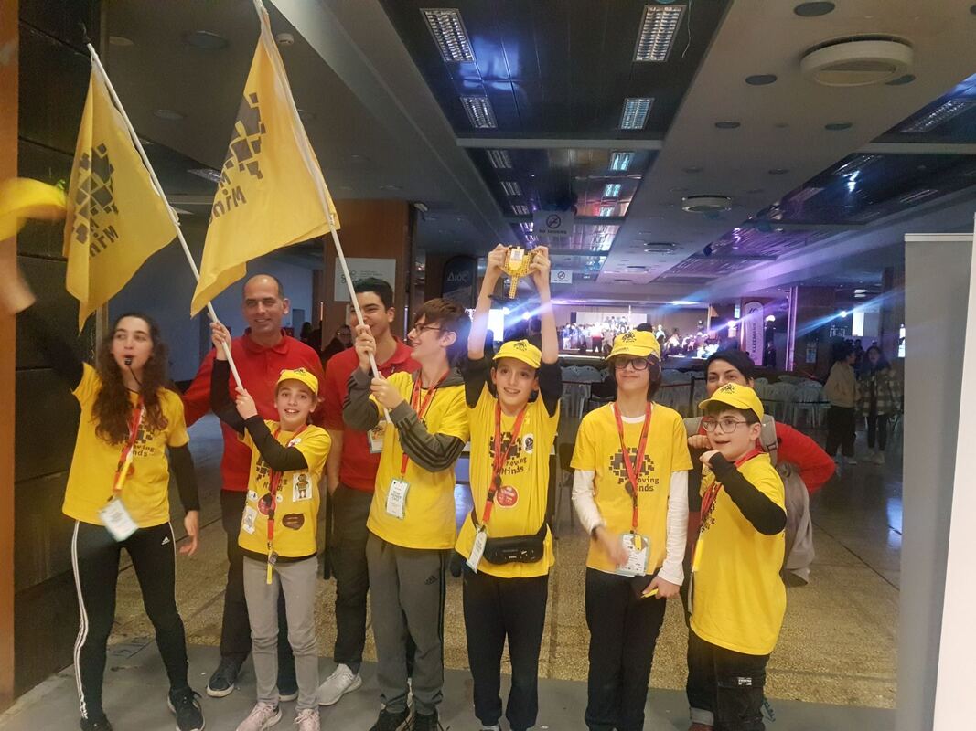
Our team, Moving Minds, after advancing in the Athens Qualifier, excelled in Thessaloniki by achieving the 2nd prize in the Innovation Project at the Panhellenic Robotics and Innovation Competition FIRST LEGO League. Furthermore, they secured the 6th position nationwide out of 188 teams! This placement has granted them the opportunity to represent Greece at the FIRST LEGO League Open International Morocco 2023, the World Robotics and Innovation Competition.
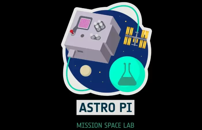
Mission Space Lab Phase 4
Life on Earth | 2023
Introduction
The importance of studying and analysing historical data in satellite images of our planet is well-known in many scientific fields. Especially in the process of studying the effects on our planet due to climate change, it has offered and will continue to offer unique opportunities to prevent and solve problems before they become "irreversible".
The goal of our experiment is not to study a specific phenomenon, but rather focuses on improving the tools a scientific team uses to study the evolution of specific phenomena that occur on the surface of our planet over time. For the needs of our experiment, we chose to develop and utilize an application that will help us study the change in the NDVI (vegetation index) in specific regions.
The user using our application will be able to easily select the images of interest and by utilizing data such as geographic coordinates and reference years that they wish to study, our application will extract the necessary data and make it available to the researcher, with an easily manageable interface and many customization options.
Method
The initial approach was to develop a "standalone" Python application to analyse NDVI of specific regions from images collected by Mark II and then retrieve and present similar historical data.
The first stage of data collection from the ISS was successfully completed. We collected 458 images with their geographic coordinates, of which about 300 were "daytime" images (for safety reasons we allowed some "nighttime" images). Because we needed images of land areas to do our analysis, we selected 5 images, without excessive cloud cover and with sufficient land area.
Next challenge was the "automated" search for older photos of the areas we were studying. We were greatly aided in this process by Google Earth Engine (EE), with the satellite data libraries, as well as the tools available from the EE Python api (NDVI calculations, sequential resolution levels, etc.).
Our final project was developed in Google Colab and is available on github. This choice helped us to make use of Google’s tools more easily, which we needed anyway to complete our project, but also to integrate into it our own scripts we had developed for NDVI analysis of the images collected from the ISS.
Conclusion
Although we feel that our idea has been implemented to a good percentage, the result certainly differs in many ways from our original plan. In the beginning we didn't even think that we would use the tools we finally chose, and that's because none of us had worked with Google Earth Engine (EE).
Finally, we were able to create a "tool" that can be used even by a researcher who doesn't know programming to gather useful historical satellite data and compare it with current data quickly and easily. Certainly, the project is open to many improvements, such as:
- The colour palette we use in the EE compared to the one we use in our scripts does not lead to the same visual effect. This is possibly because in our camera a red filter was used, and the infrared filter was removed, so we need to find the palette that will correct this difference.
- The user cannot easily isolate in the original image a specific part of the image and restrict the measurement there, this must be done by modifying the original image appropriately.
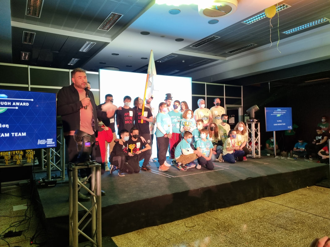
1st Prize Breakthrough Award
Hellenic Educational Robotics Competition FLL 2021-22 | March 2022
Cargo Connect
Greek Champions 2021
World Robot Olympiad 2021
REGULAR ELEMENTARY
ROBOTONIO
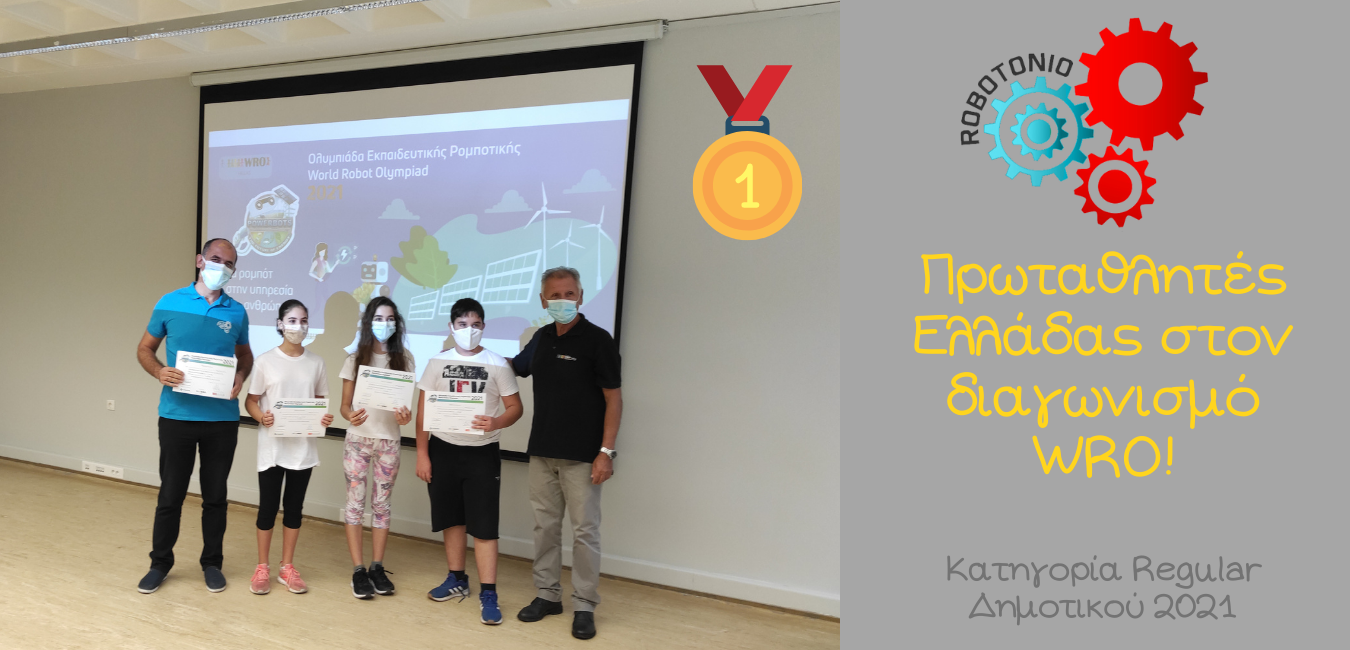
Our team, ROBOTONIO, clinched the 1st place in Greece, competing on Sunday, September 26th, in the WRO (WORLD ROBOT OLYMPIAD) competition, in the Regular elementary category. Elena (12 years old), Lampros (12 years old), and Nefeli (11 years old) showcased their best performance and, under the guidance of their coach, Tasos Kasmiris, secured the top spot! The next challenge awaits in November at the World WRO Finals.
Member of the Olympic Team
World Robot Olympiad 2018
Chiang Mai | Tailand
REGULAR ELEMENTARY
Level Up
2nd Place in Greece
World Robot Olympiad 2018
REGULAR ELEMENTARY
Level Up
After many hours of training, our team, LEVEL UP, won the silver medal in the challenging category of ELEMENTARY REGULAR, securing our spot in the finals of the Educational Robotics Olympiad in Chiang Mai, Thailand.
1st Place in Attica
World Robot Olympiad 2018
REGULAR ELEMENTARY
Level Up
Best Poster Award
First Lego League jr | April 2019
Moonwalkers
First Lego League jr | April 2019
Moonwalkers
2nd Award in Photography
3rd Nationwide Short Film Student Competition | April 2019
Colorful Marbles Everywhere
Our students (kindergarten and 3rd grade of elementary school) won the 2nd prize in PHOTOGRAPHY at the 3rd Nationwide Short Film Student Competition titled 'From Kusama's Circles to Children's Circles.' The film was created as part of the STEAM AFTERSCHOOL class.
1st Award Innovative Solution
Hellenic Educational Robotics Competition FLL 2019 | March 2019
Soft Robots in Space
A relatively new branch of robotics that has emerged in recent years is Soft Robotics. It constitutes a specialized field of robotics that deals with non-rigid robots constructed using soft and deformable materials such as silicone, plastic, and rubber.
Inspired by nature, roboticists in this field design structures and mechanisms that closely mimic the way living organisms move and adapt to their environment. The ability to deform is crucial for robots facing uncertainty in extremely challenging environments, such as collecting unknown-sized objects and navigating rough and uncertain terrain.
Moreover, in contrast to robots constructed from rigid materials, soft robots offer greater flexibility and adaptability in performing tasks, as well as improved safety when working in collaboration with humans.
The main purpose of this system is to showcase some of the advantages that Soft Robotics technology brings to the field of actuators. This purpose should not be perceived as an attempt to prove that soft actuators are "better" than traditional hard actuators, as Soft Robotics technology cannot replace current technology but can assist in addressing specific problems. The system is controlled by a central console and can also be remotely controlled (via Bluetooth) through an Android application developed for this purpose.
ADVANTAGES
- We can send robots to explore space without worrying as much about their safety. If we are careful during their design and construction, they will remain functional at their destination for a long time, aiming to send data for processing.
- Sending a robot to space is cheaper than sending a human. This is because robots can remain functional in space for many years, and there is no need to organize a return trip. However, according to Space Law, the exploration of space must adhere to the Rules for the Protection of the Space Environment.
- Robots can withstand harsh conditions, such as extreme temperatures and high levels of radiation, even in the presence of cosmic radiation.